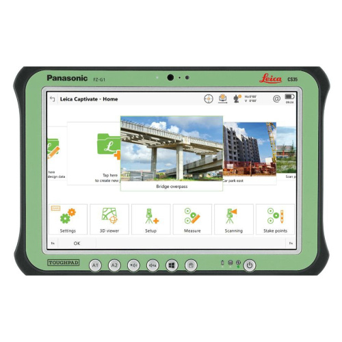
Description
INTEGRATED SURVEY, DESIGN AND CAD
Download, Calculate, Design, Draft, Check and Print – all incorporated into a productive field-to-finish package
POWERFUL SURVEY, GEODETIC AND GEOSPATIAL DATA ROUTINES
MicroSurvey has the simplest, most productive COGO utility inside a CAD package.
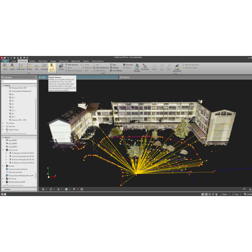
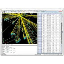
COMPLETE TRAVERSE OR NETWORK ADJUSTMENTS
Compute Vertical and Angle Balances; Transit, Compass, and Crandall’s Classical Methods, or Least Squares Adjustments.
ACTIVE DRAWING TECHNOLOGY
MicroSurvey’s Active Drawing Technology is a new and efficient way to work with your survey data.
CUSTOMIZABLE INTERFACE AND COMMANDS
Completely customizable user interface Toolbars can be arranged with “drag and drop” functionality.
QUALITY TOOLS FOR EXCELLENT VALUE
Full featured software program for greater efficiency at a lower price. USB Keys available for license flexibility, or network licenses for enterprise functionality.
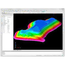
COMPLETE SITE DESIGN
Site Design: Compute ponds, ditches, stockpiles and slopes. Road Design: Compute horizontal and vertical alignments, cross section templates
LEARNING RESOURCES
MicroSurvey maintains 12 hours of built-in training movies, equivalent to thousands of pages of documentation.
Additional information
| Weight | 0.00000000 kg |
|---|