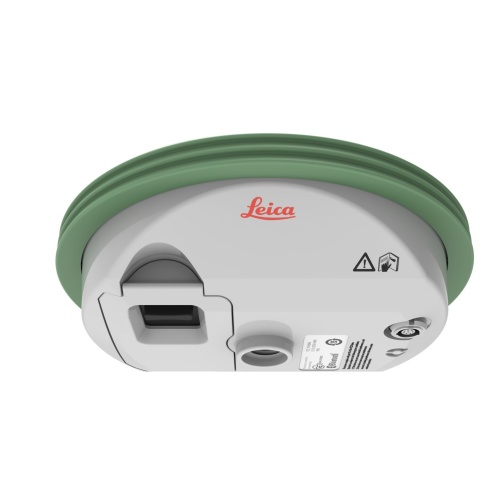
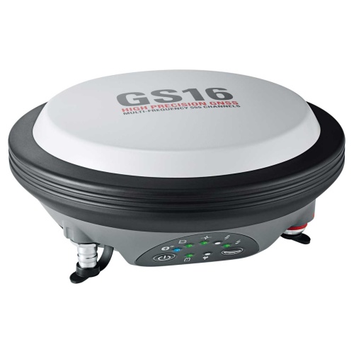
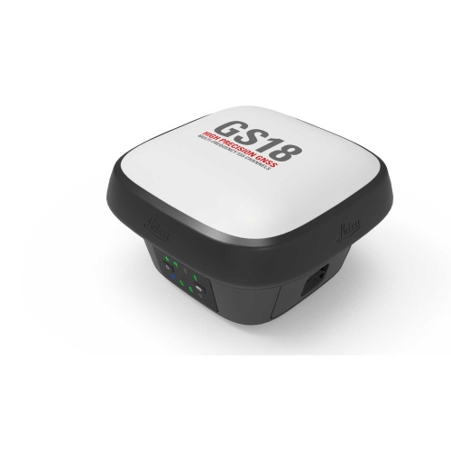
Survey GNSS
GNSS surveying is the use of GPS and GNSS signals via a GPS/GNSS receiver and antenna to determine the form, boundary, position of objects or points in space relative to other forms, boundaries or points.

GNSS surveying is the use of GPS and GNSS signals via a GPS/GNSS receiver and antenna to determine the form, boundary, position of objects or points in space relative to other forms, boundaries or points.
DFW Solution Center
2914 Story Road West
Irving, TX 75038
817.691.5328
San Antonio Solution Center
1019 E Nakoma
San Antonio, TX 78216
210.681.4280

®2023 G4 Geomatic Resources
Hours: 7 AM – 5 PM, Monday – Friday
Authorized Leica Geosystems Distributor for Texas and Oklahoma.
Houston Solution Center
1810 Cravens Road
Stafford, TX, 77477
713.779.0900
Austin Solution Center
4111 Todd Lane, STE H 1100
Austin, TX 78744
512.447.9879
DFW Solution Center
(also serving Oklahoma and West Texas)
2914 Story Road West
Irving, TX 75038
817.691.5328
Austin Solution Center
(also serving Killeen, Temple, and Ft Hood)
4111 Todd Lane, STE H 1100
Austin, TX 78744
512.447.9879
San Antonio Solution Center
(also serving Corpus Christi and Rio Grande Valley)
1019 E Nakoma
San Antonio, TX 78216
210.681.4280
Houston Solution Center
(also serving Beaumont, Port Arthur, Orange)
1810 Cravens Road
Stafford, TX, 77477
713.779.0900
®2023 G4 Geomatic Resources
Hours: 7 AM – 5 PM, Monday – Friday
Authorized Leica Geosystems Distributor for Texas and Oklahoma.