Description
Highly precise leveling measurements
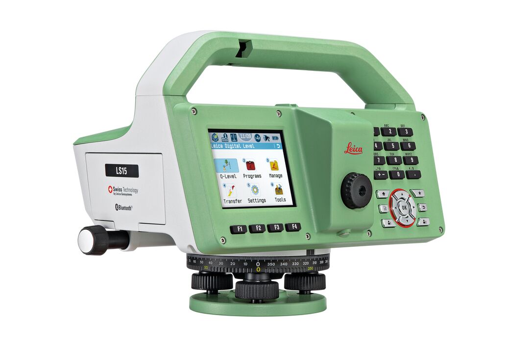
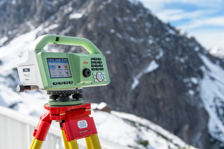
Leica LS15 and LS10 digital levels alleviate demanding leveling tasks on any site. Automated functions and industry-leading 0.2mm accuracy allow users to easily demonstrate their measuring skills while effectively completing any project.
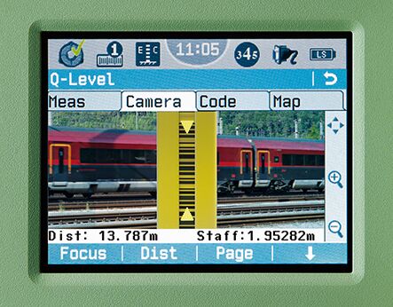
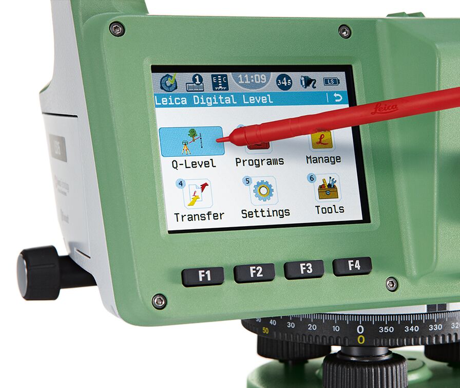
From autofocus to touchscreen displays with clean layouts, the entire measurement process is made more efficient with LS15 and LS10 digital levels. Common leveling errors, like misreading the staff or transcription mistakes, are worries of the past. Providing the most reliable results from immediately understandable line flows with image-supported color visuals, these leveling solutions make the professional’s daily tasks a more enjoyable experience.
Users profit from Leica Geosystems’ experience as inventors and industry leaders of digital levels. Honing the digital level into an art form, these solutions collect results faster with the highest accuracy available.
Infinite possibilitiesThe experience of Leica Geosystems LS digital levels isn’t finished in the field. After easily transferring your data to the office, Leica Infinity processes your results hassle-free back in the office. This intuitive software enables easy-to understand displays of complex leveling data.
Customer care at a clickThrough Active Customer Care, a global network of experienced professionals is only a click away to expertly guide you through any problem:
Additional information
| Weight | 0.00000000 kg |
|---|


