
Description
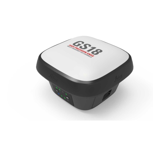
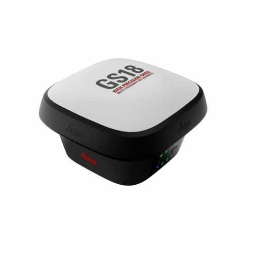
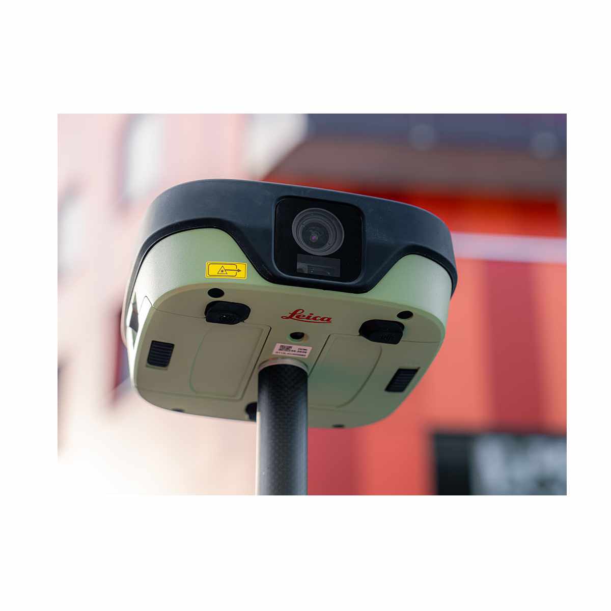
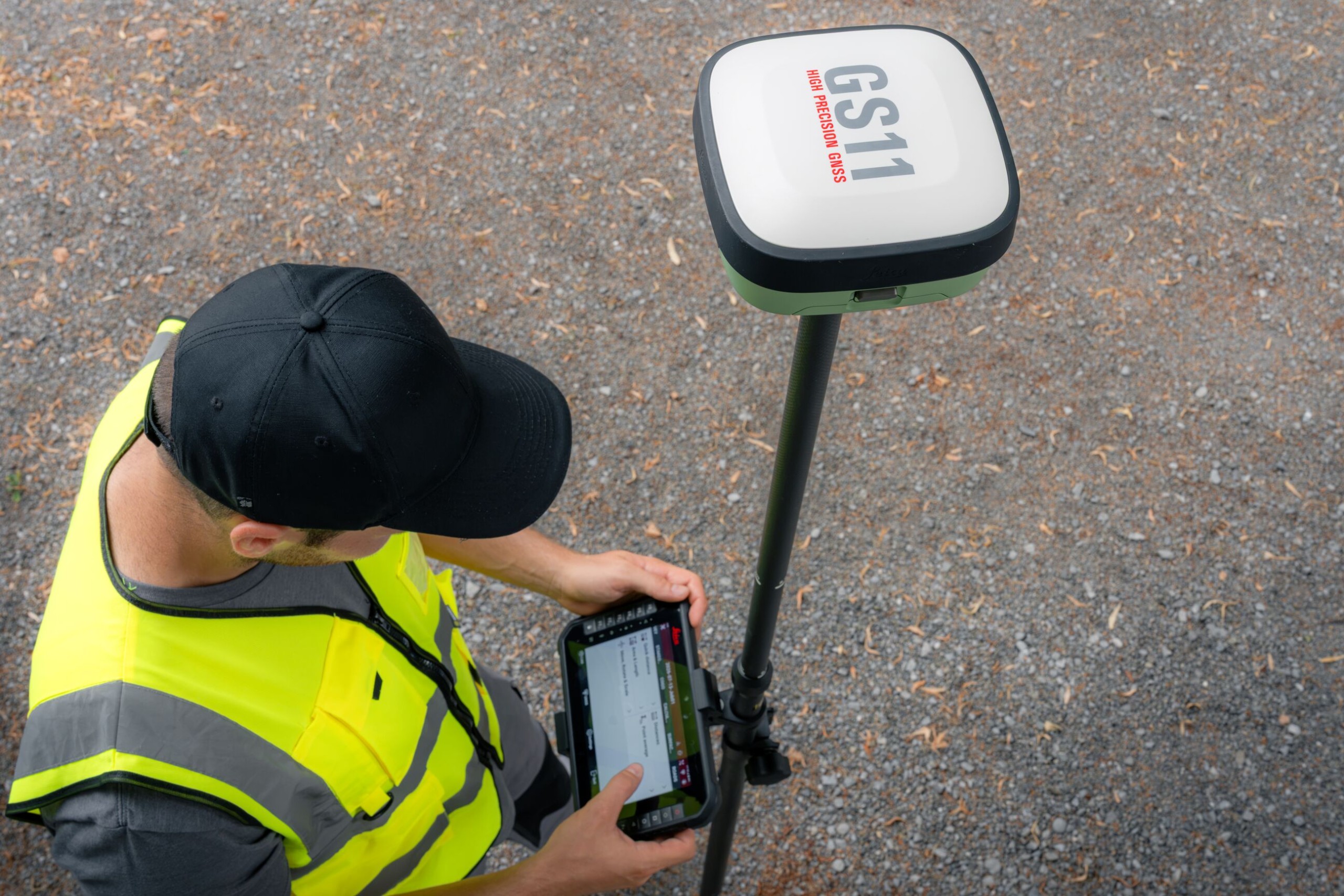
The Leica GS11 is a GNSS smart antenna that combines trusted Leica Geosystems positioning with visual surveying. Together with Leica X-PAD field software, it brings focused performance to everyday surveying tasks with intuitive workflows, live visual navigation, and image-based measurements. The result is fast fieldwork, clear project understanding, and full confidence that the job is complete before leaving the site.
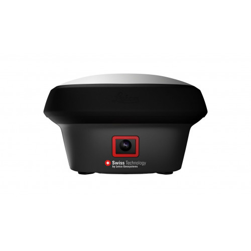
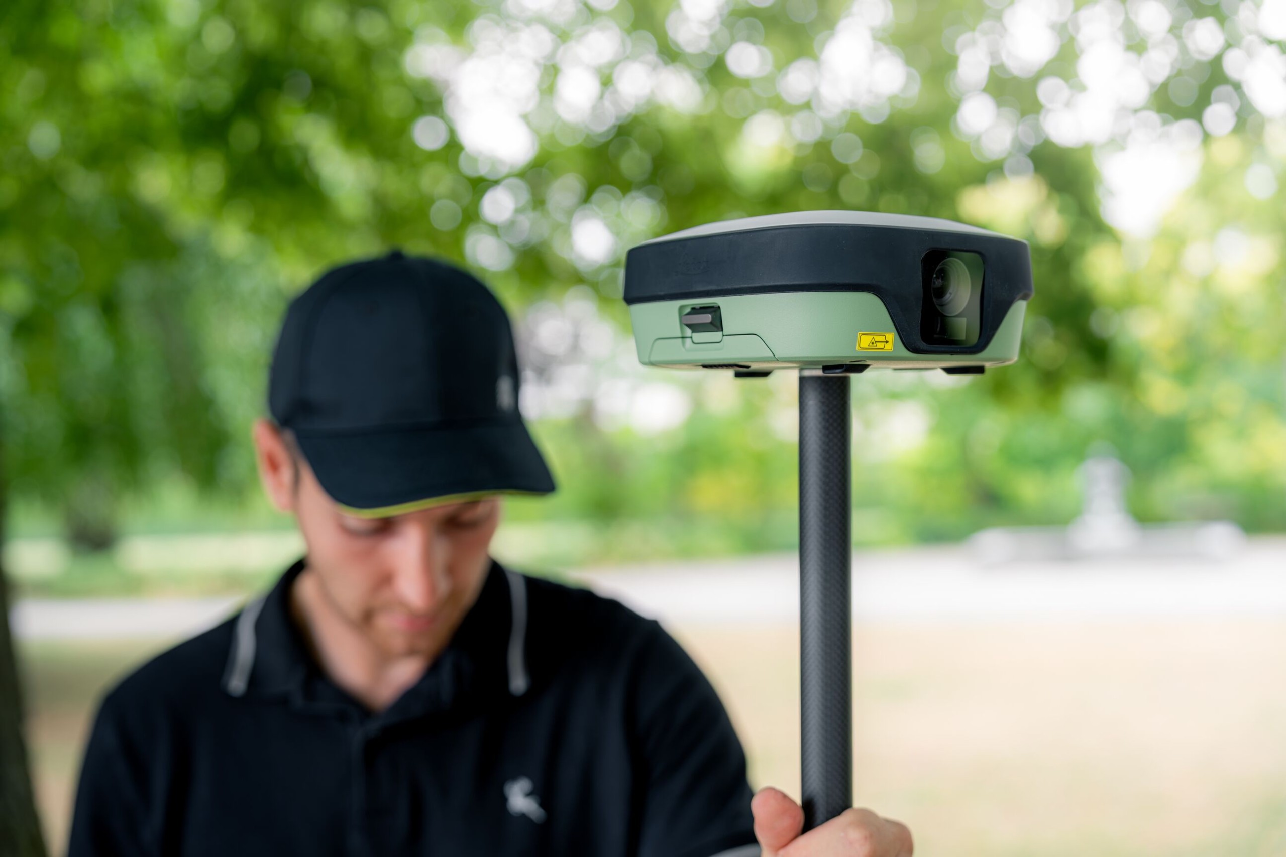
The Leica GS11 combines trusted Leica GNSS positioning with visual surveying, giving surveyors a more intuitive way to navigate, measure, and verify work in the field. Working with Leica X-PAD, its dual cameras provide real site context throughout the surveying workflow, making everyday tasks faster, clearer, and easier to complete.
Visual stakeout overlays navigation guidance onto live camera imagery so you can see exactly where to go, while visual survey with AR lets you view captured data on the live stream. Additionally, you can capture image groups and create points from the images, allowing you to measure where access is difficult or unsafe to reach with the pole.
Before leaving the site, live AR visual checks help you review and validate your work, reducing uncertainty and ensuring the job is completed right the first time.
The Leica GS11 is built for the demands of everyday surveying. Reliable Leica GNSS technology, tilt compensation, an integrated laser, and dual hot-swappable batteries give you the flexibility to keep measuring across long days and when site conditions become challenging.
The GS11 combines trusted hardware with Leica X-PAD intuitive software, Hexagon SmartNet corrections, Hexagon GeoCloud services, and global Leica Geosystems support in one connected surveying solution. The result is dependable performance that helps teams stay productive from the first point to the final deliverable.