Description
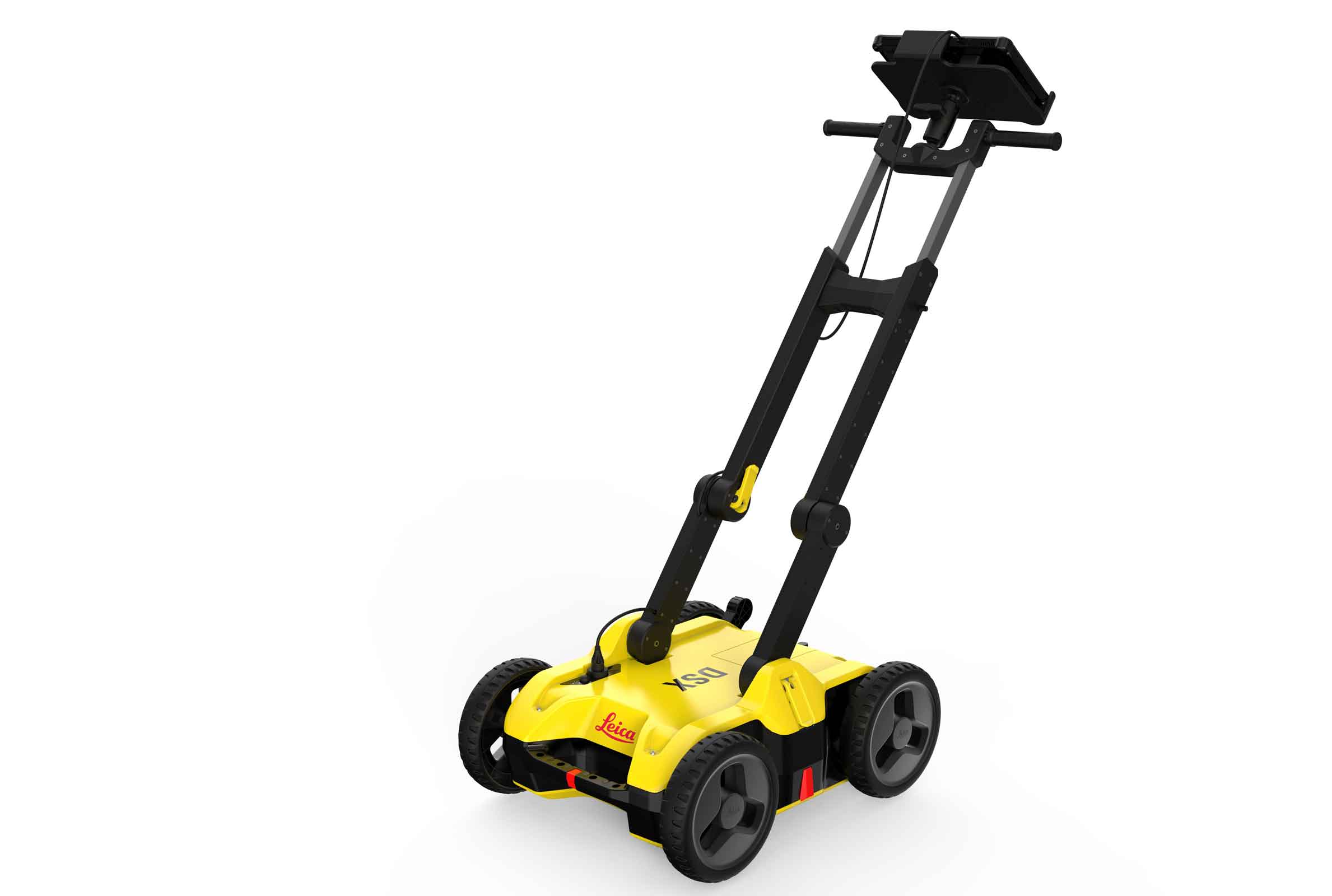
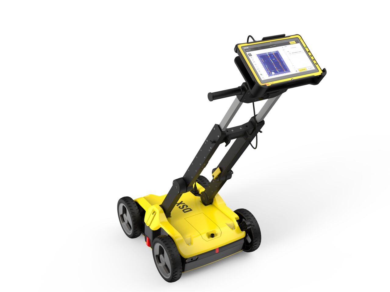
Leica DSX Utility Detection Solution
Uncovering utilities clearly and effortlessly
Reliable utility detection for everyone – simple detection workflow and results that anyone can understand
For utility repair and maintenance, civil engineering and surveying companies, the Leica DSX utility detection solution, consisting of a portable hardware with intuitive software allows to easily locate, visualize and map utilities. Unlike any other ground penetrating radar (GPR) system, the Leica DSX maximizes productivity with cutting-edge software that automates data analysis and creates a 3D utility map on the field.
Ease of Use
- Ensure smooth and accurate underground utility detection without expert knowledge
- Complete utility detection and mapping in just a few steps through intuitive user interface
- Scan anywhere and at any time, even in narrow areas and under severe conditions
Instant 2D/3D Utility Map
- Save your time on site by mapping underground utilities in just minutes
- Export utilities in CAD or BIM-read formats for further usage
- Create professional reports, customised to your and your customers’ needs
Reliable Detection Results
- Detect all types of underground utilities in high resolution to assure reliable avoidance zones
- Verify detected utilities with support of smart algorithm
- Import of POI’s and utility records to help you make better decisions
Integrated Solution
- Offer a complete workflow from acquire to excavate
- Locate underground utilities with survey-grade accuracy
- Generate utility maps, compatible with all coordinate reference systems
Additional information
| Weight | 0.00000000 kg |
|---|